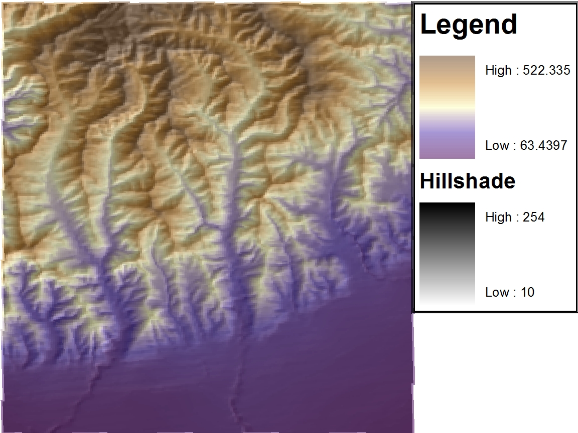
The location selected was the Santa Monica Mountains. This was chosen because it has many differing elevations. This will produce more interesting plots than if the plains of Africa. Another reason this location was chosen was because during the lab section I was unable to download any other in geographical information. This occurred because there were too many students attempting to do the same thing. If I were to redo this assignment I would probably choose the Grand Canyon or somewhere else with a more abrupt elevation change.
The extent information (in decimal degrees) is presented below:
Top: 34.3408
Left: -119.2356
Right: -119.1696
Bottom: 34.2728
The geographic coordinate system that was used for the original DEM was North American Datum of 1983
Shade Relief Model
Hillshade
This is not required for this lab, however, this figure helps one understand the Shade Relief Model.
Slope
Aspect
3-D Representation


No comments:
Post a Comment